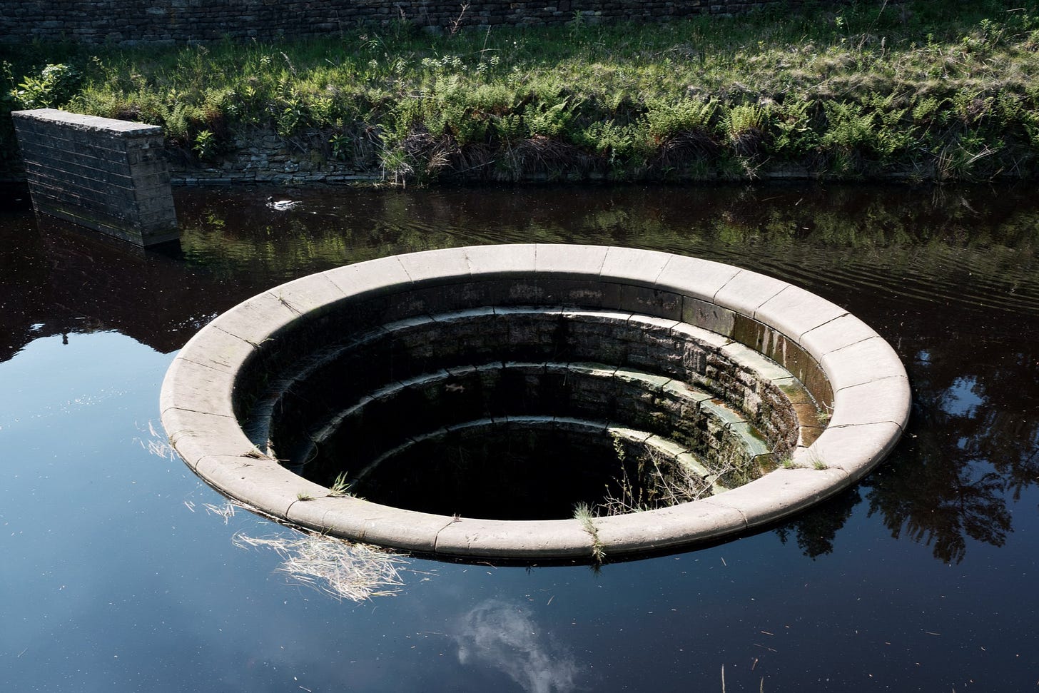
Issue:022 Sheffield-Peak District Boundary
Hello 👋 Roadside Picnic subscribers. I am Richard, and this is my newsletter on photography and overlooked spaces.
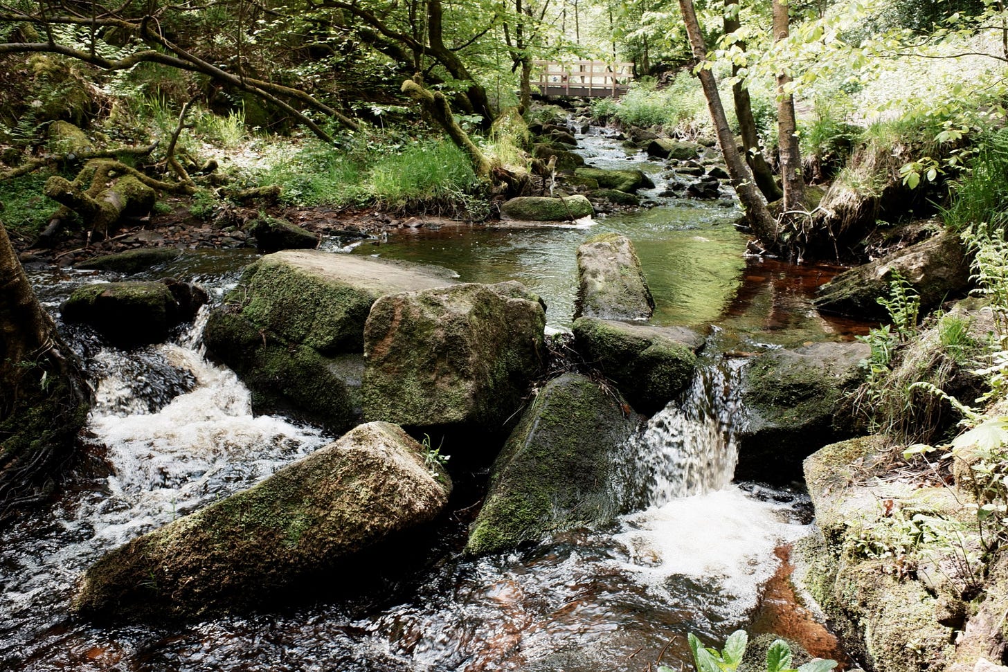
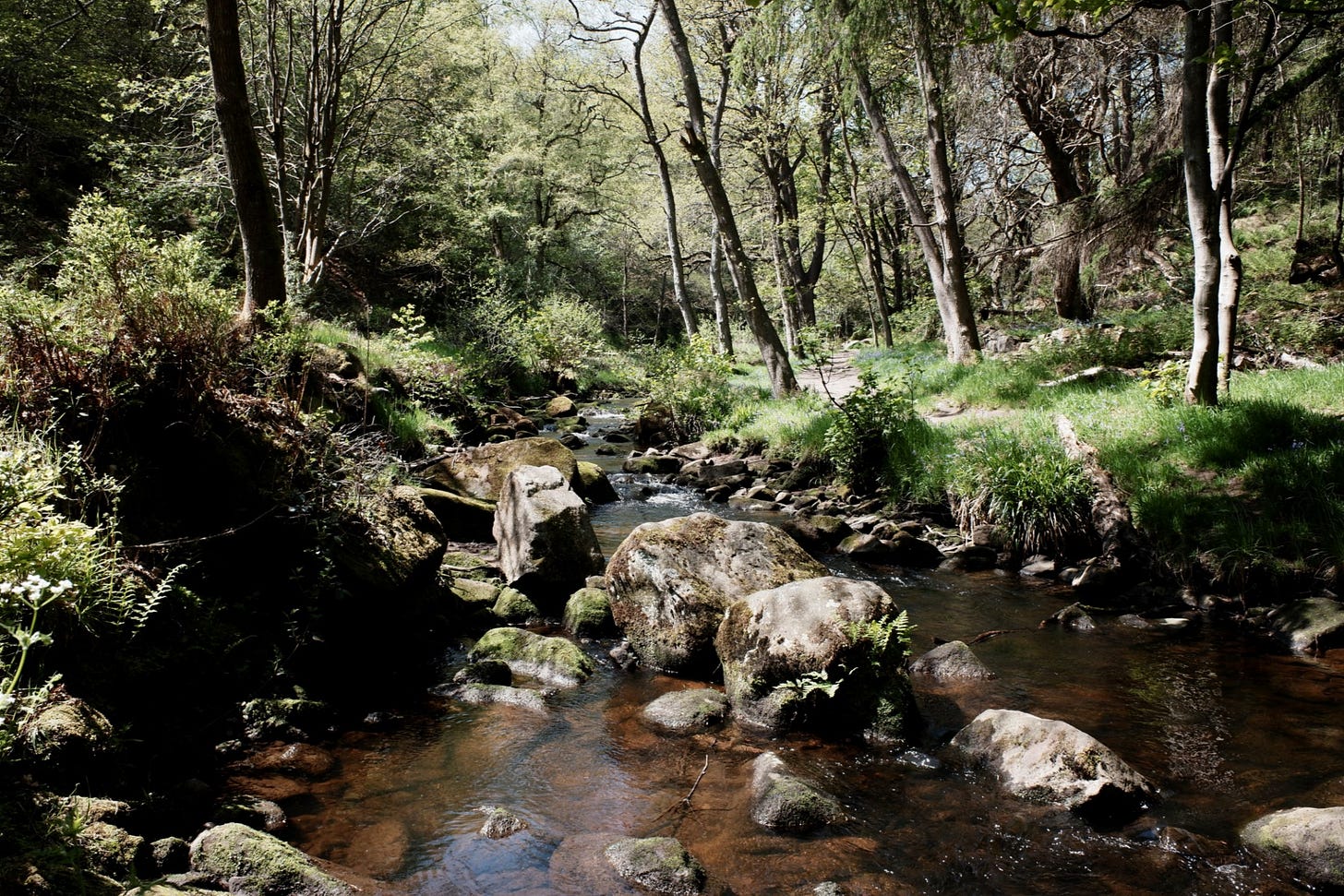
Bank holiday visitors cram the car park and spill out into the road filling the verges with vehicles baking in the sun. By the brook, a passive argument ensues about a loose dog. The dog, a happy Jack Russel, is accused of scaring a toddler paddling in the water. Further down the Brook, people patiently queue to pass the narrow, sometimes wet, eroded pathway. Giving up, we scramble out the brook to the higher route, a deserted level driveway.
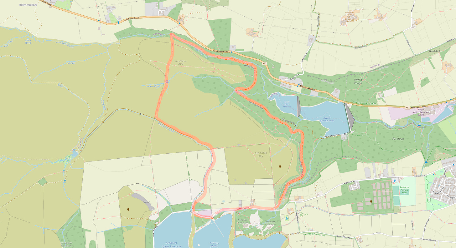
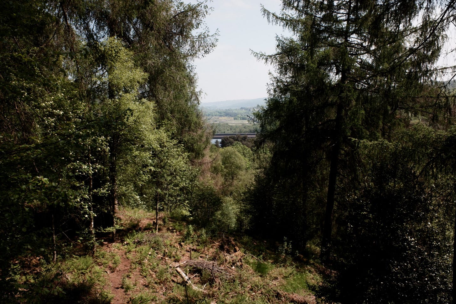
Wyming Brook feels like a busy corner of the Peak District, but it is within the Sheffield city limits and is surrounded by its water infrastructure. Rivelin Dams to the north and Redmires Reservoirs to the south. Its seclusion from both of which and the city arises from the enclosing tall conifers of Fox Holes plantation.
Following the winding drive through the plantation, the A57, situated north alongside the Rivelin dams, becomes a noticeable hum amidst the gushing of hillside water. The hum disperses as the route travels further downhill till the road is overhead and diminished by the sound of the western branch of the brook.
Crossing the brook, two men live off-grid, campfire, tarp and washing line. They seem oblivious to us. Stood in their underpants and speaking in an eastern European language. Part of me is jealous, another wonders how many times have they been confronted by game and park keepers.
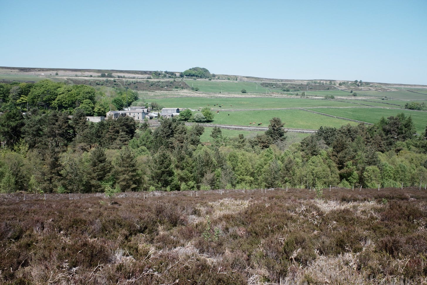
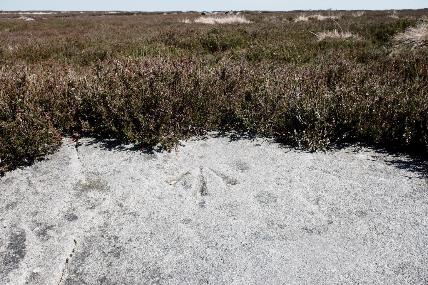
Out of the plantation the path elevates onto the moorland. Behind us, the A57 and farms appear over the conifers shrouding the brook. To the East, is the urban sprawl of the city. The moorland itself is dotted with stones, some of which resemble circles. An ordnance surveyors benchmark is carved into a stone, it points to the horizon. Once used as a reference point for surveying the land it is now comparable to the ancient stone circles as both are misunderstood and marred by myth.
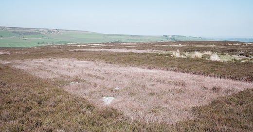
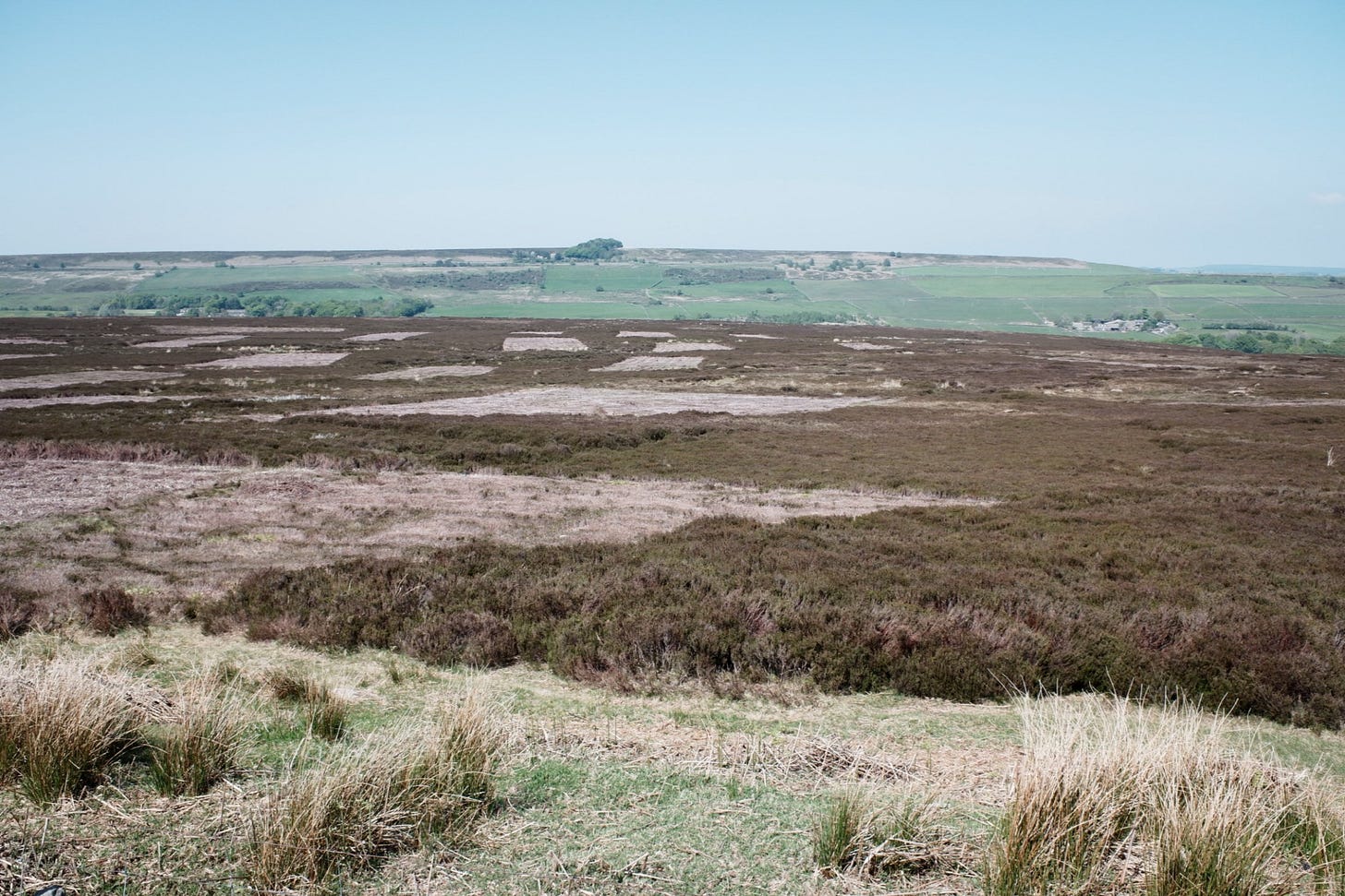
When the route flattens out, the stones are replaced by contemporary marks in the land: large rectangular shapes produced by the cutting of the moorland. A form of management to conserve the moorland and stop it from developing into upland woodland1.
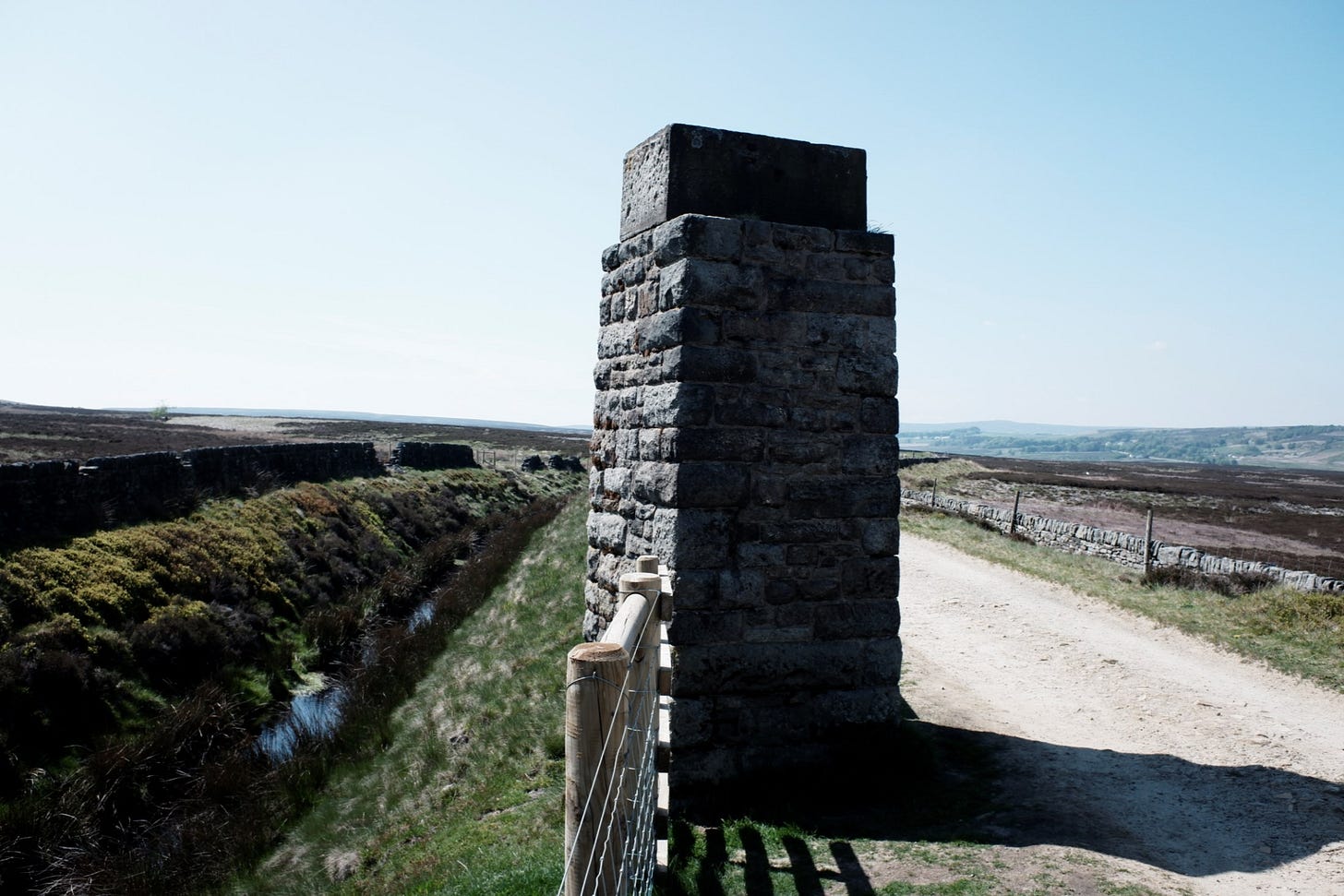
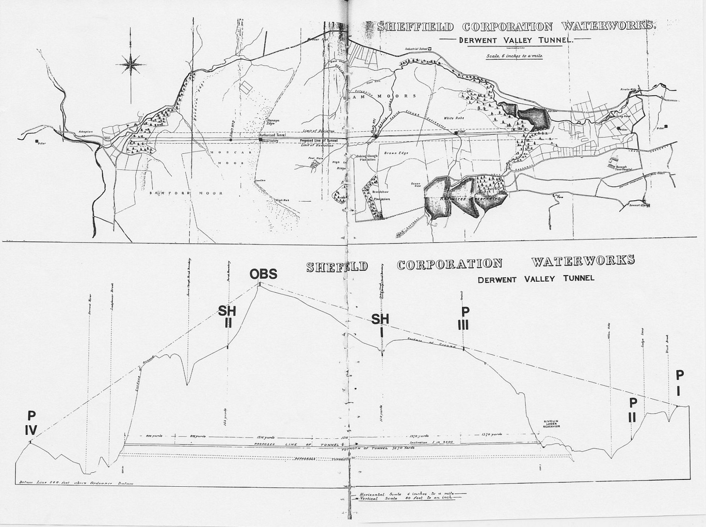
Leaving the moorland, we walk a raised path following the Redmires Reservoir conduit. A stone tower stands at the side of the path without context or acknowledgement from a map or sign. It's an observation tower for a tunnel deep under my feet. The Rivelin tunnel is an Edwardian construction of 4.5 miles long and 6 foot wide connecting Ladybower with the Rivelin reservoir.
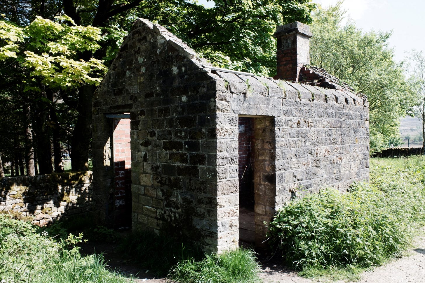
Continuing the water infrastructure: a derelict pump house and an overflow at the end of the conduit.
A fleeting glimpse: a brown blur darting into a hole. Aside from infrastructure, the conduit is home to water voles. Their sets, small rabbit-like holes, line the banks behind fencing. From the road, we walk back to the car along the Redmires Reservoir. Absent of vole, people sunbathe along its banks instead.
The site is a conventional interfacial with a mix of archaic and contemporary infrastructure. This utilitarian banality is combined with the national park amidst leisure, tourism, and wildlife. For a city, it's a unique boundary.
Bookmarks
Landscape: The Ecology of Unpredictability - Birches clumped in thickets have historically been found not in gardens but at derelict sites, and in woodlands recently disturbed by fire or wind or logging. Why are designers now appreciating this form?
You cannot shoot grouse in a wood.

